
Archive
Joint US – India Mission Maps Mississippi Delta From Space
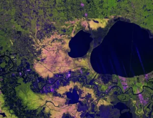
WASHINGTON, DC- A high-resolution radar image from the US–India NISAR Earth-observing satellite has captured the Mississippi River Delta region in southeastern Louisiana, revealing fine-scale details of urban areas,
0 Comments