
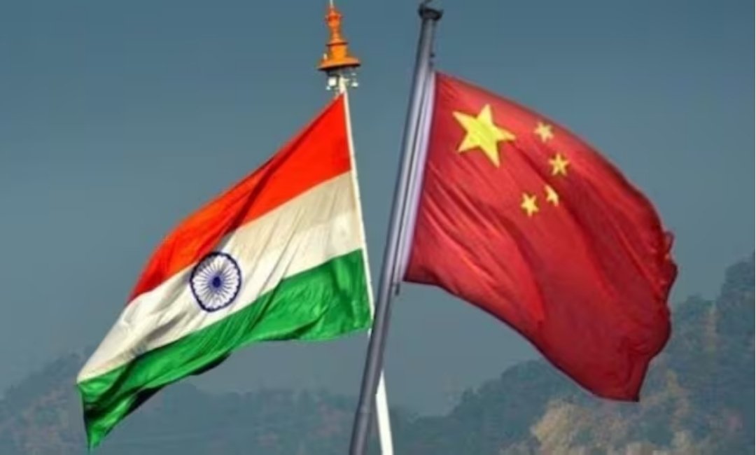
India And China Are In A Map War Over Arunachal Pradesh
BEIJING – For years, China has used maps, place names and administrative terminology as instruments of territorial pressure against India, repeatedly assigning Chinese names to locations in Arunachal Pradesh. Beijing’s publication of these names is part of a broader effort to reinforce its territorial claims through official documentation and state-controlled messaging.
India’s latest cartographic response represents more than a naming exercise. It comes as Beijing continues to use what it calls “standardized geographical names” to reinforce its claim over Arunachal Pradesh, which China refers to as “Zangnan” and claims as part of southern Tibet.
On August 7, the Survey of India formally identified 27 locations in Arunachal Pradesh by their standard names on India’s official map. The list includes strategically and historically significant locations such as mountain passes, settlements, Sambho Sarovar and the Sher-e-Thapa Memorial. The stated objective was to facilitate accurate identification and improve public awareness of their geographical and historical significance.
In April 2026, China’s Ministry of Civil Affairs released its sixth batch of such names. Chinese Foreign Ministry spokesperson Guo Jiakun defended the practice as an exercise of China’s claimed “sovereign rights”.
The contrasting positions underline the limits of using nomenclature to advance territorial claims. Repeatedly publishing new names may reinforce Beijing’s domestic narrative, but it does not by itself change administration, civilian governance or control on the ground. Arunachal Pradesh functions as a state within the Indian Union, while China continues to dispute its status.
India’s Ministry of External Affairs reiterated on August 11 that Arunachal Pradesh is an “inalienable and integral part of India” and said the condition of the border would inevitably influence the wider bilateral relationship.
The naming controversy has coincided with allegations of Chinese activity in the Taksing sector of Upper Subansiri district. A four-member fact-finding team from the People’s Party of Arunachal reported alleged Chinese intrusions. The claims remain unsubstantiated and uncorroborated, while Beijing has said the overall border situation is “generally stable”.
Reuters nevertheless reported claims of a late-July patrol confrontation near Tasking and allegations from a local welfare body of increasing Chinese activity.
The timing is significant. The 36th meeting of the Working Mechanism for Consultation and Coordination for India-China Border Affairs was held in New Delhi on August 6, a day before reports of India’s cartographic move emerged.
The latest concerns have emerged ahead of the BRICS Summit scheduled in New Delhi for September 12-13, which Chinese President Xi Jinping is expected to attend. The summit will bring the two countries’ leaders and delegations together at a time when border stability remains an important issue in their relationship. (IANS)

Sam
/
India is changing names in its country. China is changing names in occupied Tibet.
India should change the map and show Tibet as CoT – China occupied Tibet.
August 24, 2026