China’s Tibet Flood Secrecy Raises Questions Over Death Toll, Data
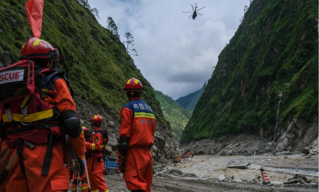
KATHMANDU- On August 26, a glacier broke loose above the Nepal-Tibet border, sending a wall of ice, rock and water crashing down the Bhote Koshi valley. Within days, Nepal had reported more than 1,300 deaths and thousands of people still missing. China, which governs the villages on the other side of the disaster, reported only a handful of casualties.
The sharp difference in the reported toll has drawn attention to both the scale of China’s infrastructure expansion in Tibet and the tight control over information from the region.
China has presented the Tibetan Autonomous Region as a major clean-energy frontier, with hydropower dams on the Yarlung Tsangpo, solar farms across areas including Shigatse and Gar County, and ultra-high-voltage transmission lines carrying power east.
The Takshashila Institution, an Indian policy research organization, has tracked several gigawatts of new renewable capacity added since 2013, including increases of 700 megawatts in 2023, 860 megawatts in 2024 and an estimated 2,600 megawatts in 2025.
Its geospatial mapping has also identified solar installations near airport infrastructure and in Gar County, including a site within three kilometers of an antenna array associated with signals monitoring.
A Washington-based Center for Strategic and International Studies (CSIS) study has described the broader pattern of dams, roads, railways and digital infrastructure as a “gray-zone infrastructure strategy”, saying it builds China’s leverage over India and Nepal without direct military confrontation.
The energy network extends beyond power generation. Electrified border villages, microgrids and garrisons have expanded steadily since 2017, strengthening China’s civilian and military presence opposite India’s Arunachal Pradesh, Sikkim and Ladakh sectors.
The power infrastructure can support civilian communities as well as radar, communications equipment, drones and military facilities, giving the expanding settlements the capacity to sustain a permanent presence in the high-altitude border region.
The significance of that infrastructure became more apparent after the glacier collapse. While Nepal’s side of the border remained accessible to journalists, aid workers and independent observers, access on the Tibetan side was restricted.
Foreign journalists could not travel independently to the affected area, while images of destruction at the Gyirong border crossing that briefly appeared online were later removed from Chinese platforms, according to separate reports by Australia’s ABC and Germany’s ARD.
Radio Free Asia, a US government-funded broadcaster, also reported restrictions on independent observers, leaving much of the outside world dependent on statements from Chinese authorities.
The reported casualty figures varied sharply, with Chinese official accounts cited in the reporting ranging from five to 538. The difference is difficult to assess independently because access to the Tibetan side has remained limited.
The information gap also matters for countries downstream of the Tibetan plateau. The Guardian reported that hydrological data from the region is treated as strategically sensitive and that Nepal lacked a comprehensive real-time system for monitoring glacial lakes and rivers upstream of its villages.
Chinese Foreign Minister Wang Yi has said Beijing shared satellite imagery, hydrological data and warnings about barrier lakes before the flooding. No evidence has emerged that China deliberately withheld information in order to expose Nepal to greater risk.
Nepal and China have since agreed to strengthen real-time data sharing following the disaster.
For India, the developments carry particular significance because China’s infrastructure and military presence has expanded along the disputed Himalayan border, including areas opposite Arunachal Pradesh, Sikkim and Ladakh. The disaster has also highlighted the importance of timely hydrological information for communities downstream of Tibet.
For Nepal, Bhutan, Bangladesh and India, the events of August have underscored the need for reliable early warnings, access to hydrological data and greater transparency when disasters occur in the Tibetan region. (IANS)