Declining Groundwater In Varanasi Will Impact Ganges Riverfront
By Dr.Ashwani Raju, Assistant Professor of Geology, Benares Hindu University, and Dr. Ramesh P Singh, School of Life and Environmental Sciences, Chapman University, CA
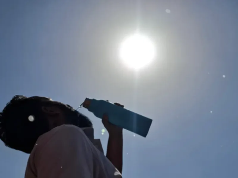
The growing anthropogenic activities in the last three decades in India have affected the monsoons, which is erratic and not timely, affecting the groundwater recharge especially when the groundwater withdrawal has increased many folds. The groundwater levels are declining, which is evident when the farmers and residential users dig new wells or even increase their water pumps deeper during summertime.

Our study has shown that in the last three decades, the long-term depletion of groundwater resources has become most severe in India, especially where the farmers produce two crops (rice and wheat ) in the Indo-Gangetic Plains region. It is leading to changes in total water storage in the adjoining areas.
The change in groundwater in the region can cause short-term drought and changes in surface features as it leads to changes in compaction to the aquifer system, causing the problem of ‘land subsidence’ that is a threat to one-fifth of the human population globally, mostly living in Asia, with India at the top position. Such changes threaten buildings and infrastructure – bridges, dams, cold storage, etc – and increase flood risk. The continuous decline of groundwater is a threat to the historical buildings in the area.
A long-term study of Groundwater Storage (GWS) from NASA satellite (GRACE) has shown surface deformation around Varanasi from the time series InSAR measurements of 180 Sentinel-1 SAR scenes. Groundwater well data from the city center was also studied.
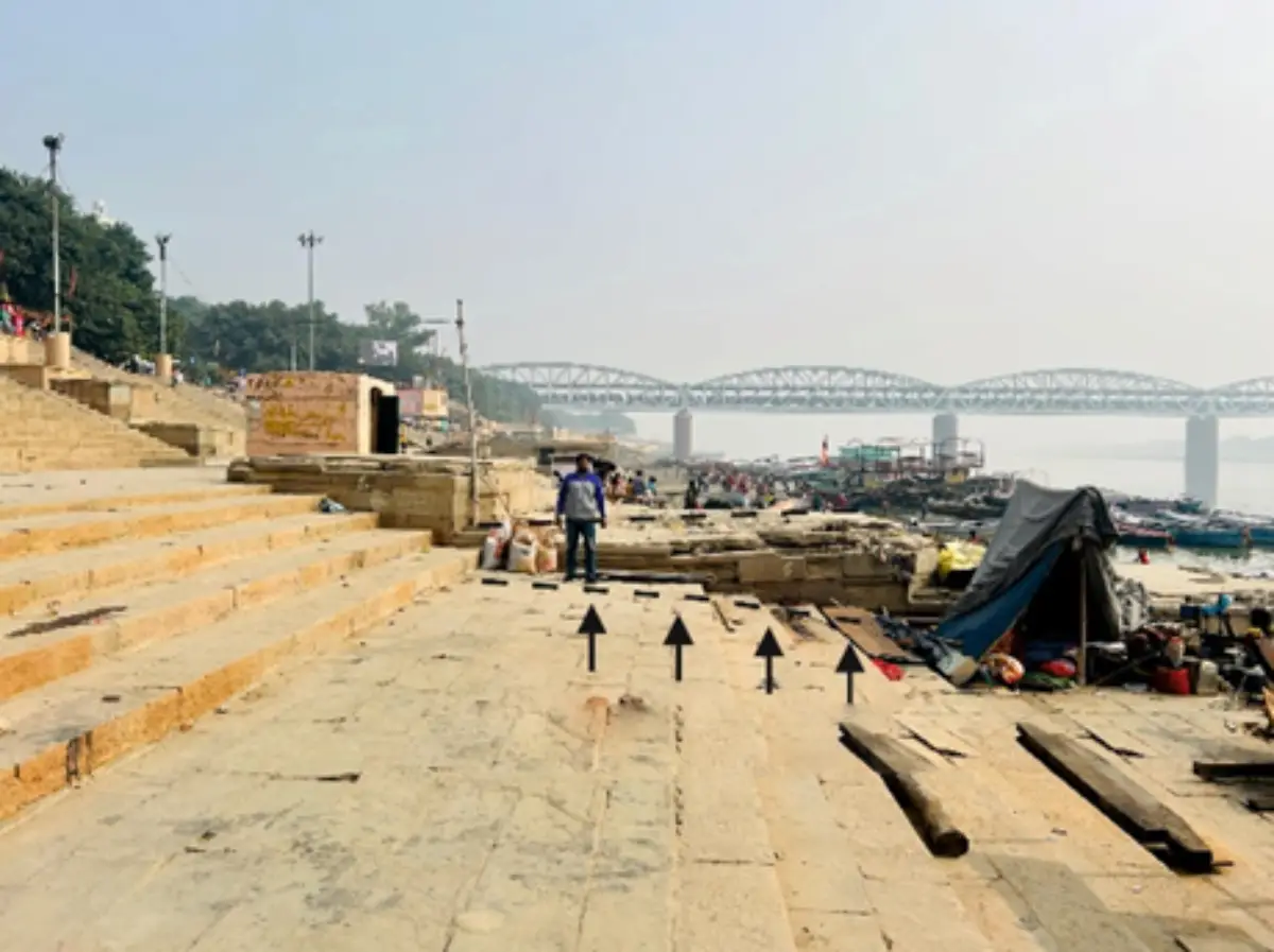
The SAR Interferometry, a powerful tool shows the potential subsidence surfaces around the western (convex side) Ganga riverfront, a UNESCO World Heritage site.
Some of the photographs attached here show surface deformation along the riverfront in Varanasi, a holy city, where Hindus from around the world converge to take a dip in the Ganges River. The subsidence zone is estimated to be around ~1-1.5 km from the riverbanks, notably along the aesthetic riverfront developed along the meandering Ganges River. The ghats and localities along the meandering riverfronts are marked with mean annual subsidence ranging from -2.4 to -8 mm/yr.
Further, the excessive use of groundwater withdrawal is also associated with the frequently observed shallow earthquakes and groundwater-induced seismicity in the adjoining region.
To take this study further, the hope is that when NASA-ISRO jointly launches the NISAR mission, it will provide data to Indian scientists who can use it to study this and other natural hazard issues.